 Objective:
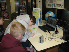
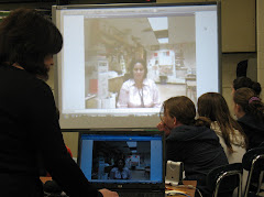
- Working in small groups of 8, Miss Avery and Mrs Kopecki's classes students will collaborate remotely through videoconferencing technology on a Search and Discover Turkey session. In the process they will:
- locate Turkey on a map of the world and determine its location in relation to the Middle East, Europe, Asia and Connecticut.
- identify and locate specific geographical regions and features of Turkey.
CT Social Studies Content Standard:
Geography-to explore the physical and cultural characteristics of places and world regions and how those characteristics affect people.
Lesson Length: One class period
Materials:
- 1 Map of Connecticut
- 1 map of The Middle East
- 1 Map of The World
- 1 Search and Discovery Sheet
- Pencils and Pens
- Colored Pencils
1) Working in groups of four, (four six graders/four eight graders) the group leader will print ONE copy of the following: (This could be done ahead of time).
2) Your first task is to locate and label the approximate locations of Prospect, CT and Wethersfield, CT on the Connecticut map. Use may use this Connecticut Map to help. Share your locations with each other.
3) Your next task is to color the United States and Turkey on the world map. Share your maps with your partner groups.
4) Next, your groups will use this Interactive Middle East Map or the flip chart Atlas of the World to locate, label and color the following countries onto your map of the Middle East.
- Turkey
- Jordan
- Saudi Arabia
- Lebanon
- Israel
- Iraq
- Iran
- Egypt
- Kuwait
- Syria
- Bahrain
- Qatar
- United Arab Emirates
- Oman
- Yemen
Concluding Activity
- Discussion Question: Compare and contrast the geography of Turkey with the geography of the United States. Share you responses with your videoconferencing partners.
To test your memory of the countries in this region after completing the lesson try the map at:


